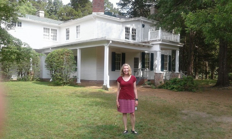
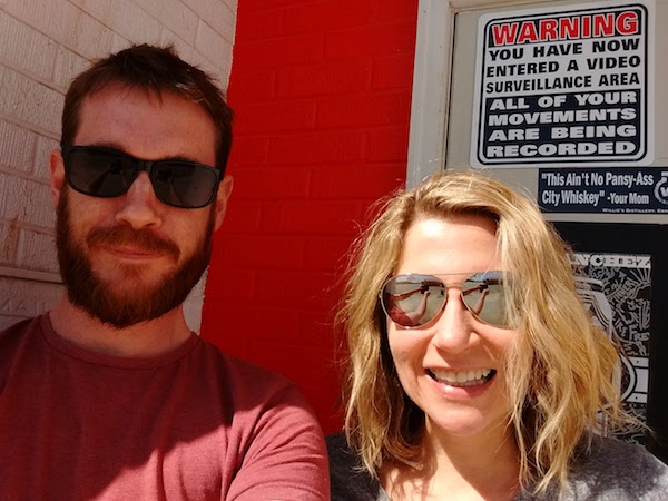
OutridersIn the summer of 2017, Malachy was one of five Scottish writers chosen by Edinburgh International Book Festival to undertake journeys across the Americas.
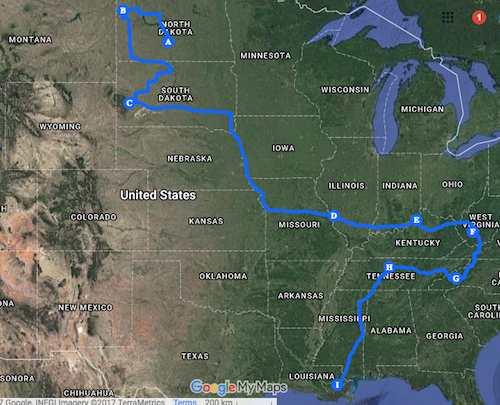
He travelled through the United States for three weeks, beginning in North Dakota, through Appalachia, and ending in Louisiana. For most of this time he was accompanied by the novelist Jennifer Haigh. The diary posts below were written during this journey.
|
|
|
For just over three weeks, from 10th May to 1st June, I travelled through the United States of America, from North Dakota to Appalachia to Louisiana. During the course of this journey I drove thousands of miles (4390, according to Google Maps; 5165, according to the odometer). I passed through seventeen states, all but two of which voted for Donald Trump in November 2016. I saw national parks, national forests, and national monuments; prairies, mountains and swamps; bison, groundhogs, and alligators. I made literary pilgrimages (Red Cloud, Port Royal, and Rowan Oak) and musical ones (Tupelo and Highway 61). I saw floods in Louisiana, blazing sunshine in the Dakotas, and electrical storms in Indiana. I started using Oxford commas. For most of this trip I travelled with the novelist Jennifer Haigh, and it was an enormous pleasure to do so. Spending this time with her, talking to her, I learned more than I could ever have done from travelling alone. The blogs I have published on this page have scarcely touched upon the ideas and questions that have most interested and troubled me along the way. In part that is because my time has been so limited. But largely it was deliberate. I have been wary of publishing anything that might seem like a conclusion. I have been wary of haste and prejudice. The questions I have been asking – and that Jennifer and I have been discussing as we drove, ate and wandered – will take time to nudge in the direction of answers. And those answers, inevitably, will be tentative. I have spent only a little time in this huge, complicated country. I am not going to pretend that it does not, still, baffle me. Much of the political division and tension in the United States today is a result of intolerance, on both right and left. It is a result of the failure to take time, to make the effort, to understand those you disagree with. 'Liberals' condemn and caricature half the population as ignorant, racist, backward; while 'conservatives' condemn the other half as hysterical elites, out-of-touch with reality. What truth there is in these criticisms is lost in the muddle of hyperbole. Writing literature, in part, is an act of empathy, and as such it ought to cut through this hyperbole, this sweeping condemnation. But to do so is not simple. I have seen and heard things on this journey that have shocked me, offended me. It would be easy to draw words out from that shock, and to criticise what I don't understand. The sight of a Confederate flag waving in the hot, Mississippi sun made me feel deeply uncomfortable, and I know why. My discomfort was not a surprise. But I didn't come to this country to confirm what I already knew. I didn't come to cement my own opinions. What is interesting about that flag is not how it made me feel, but why, in 2017, it is still there. What I have tried to do on this journey is to observe honestly the things that I have seen. Now, my task is to turn those observations into something more substantial: into words that I am willing to share. I hope that somewhere in the many pages of notes I made, and in the hours of conversations I had with Jennifer and with others along the way, I will find what I need to do that.
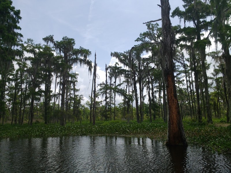
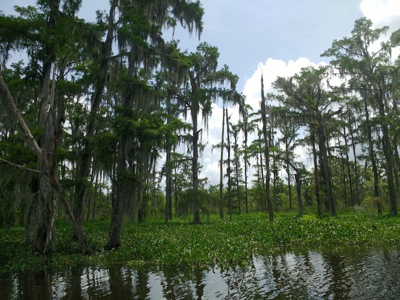
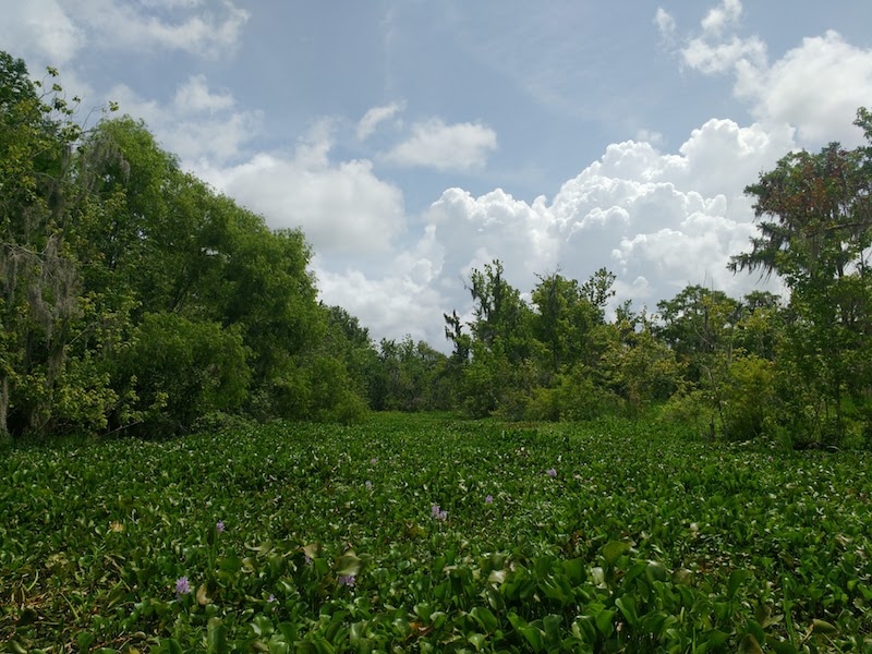
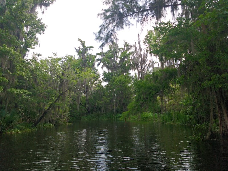
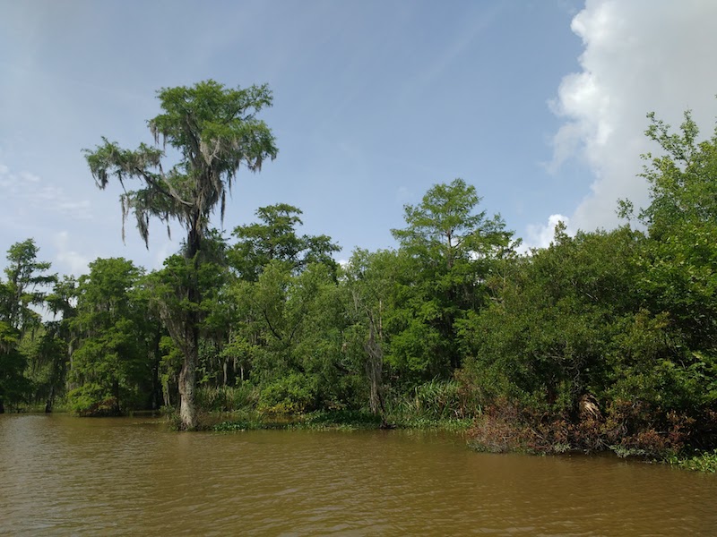
After three weeks on the road, this was my last day of travelling. It began beneath a sun that felt remarkable after yesterday's torrential rain, and a heat that felt remarkable because it seemed, quite literally, to be cooking us in our skins. We took a tour of the swamp in the Mandalay National Wildlife Refuge, saw herons and egrets and alligators, and felt ourselves to be in some weird, unfamiliar world. It was beautiful, but somehow terrifying. We drank a lot of water. In the afternoon we drove north to visit a local writer, Bev Marshall, and her husband Butch, who told us a great deal about the area, about differences between Louisiana and Mississippi (where they both grew up), and about life before integration. It was an eye-opening discussion. Finally, after yet more driving and yet more rain, Jennifer and I reach our destination: New Orleans. This is a city unlike any other in this country. It feels foreign, and charged with an energy that seems both of another place and perhaps of another time. We wandered the evening streets together in search of food: hungry, glad to have arrived, and yet, more than anything, sorry that our journey was over.
The Mandelay National Wildlife Refuge
Our hotel in the French District, New Orleans.
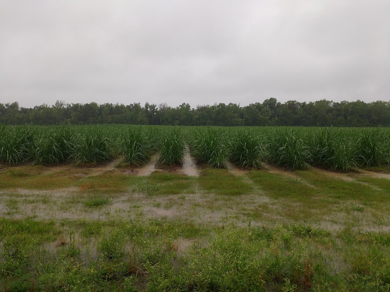
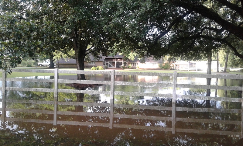
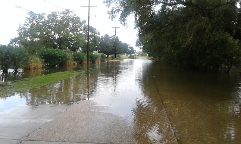
"Ya'll try to stay dry!" So said our waitress as we stood from breakfast to head out into what was not, certainly, a dry day. The rain had been pelting down from before I woke, and it continued to fall, without let up. Fields of rice were now paddy fields, ditches and bayous were close to overflowing. It was an unpleasant, slow drive, with wipers going as fast as they could go, but still failing to keep our vision clear. And we were travelling in the wrong direction: towards the darkest clouds, towards the flashes of lightning, towards swamp land. This part of the country, on a day of heavy rain, does not feel like a place fit for human habitation. Everything, everywhere, is water. Water falling, water rising; the air filled with it, your body sticky with it. All else is sinking or rotting or crumbling. When we reached our accommodation – the first on this trip to feature a pet alligator – we stayed inside.
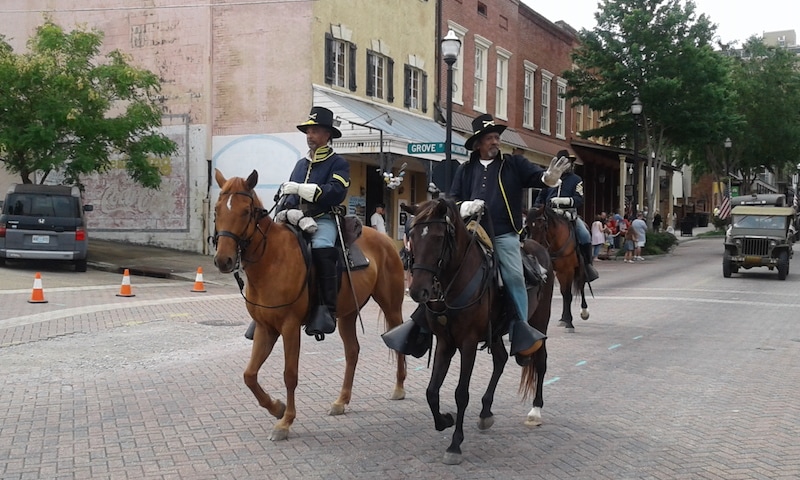
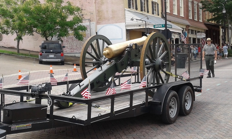
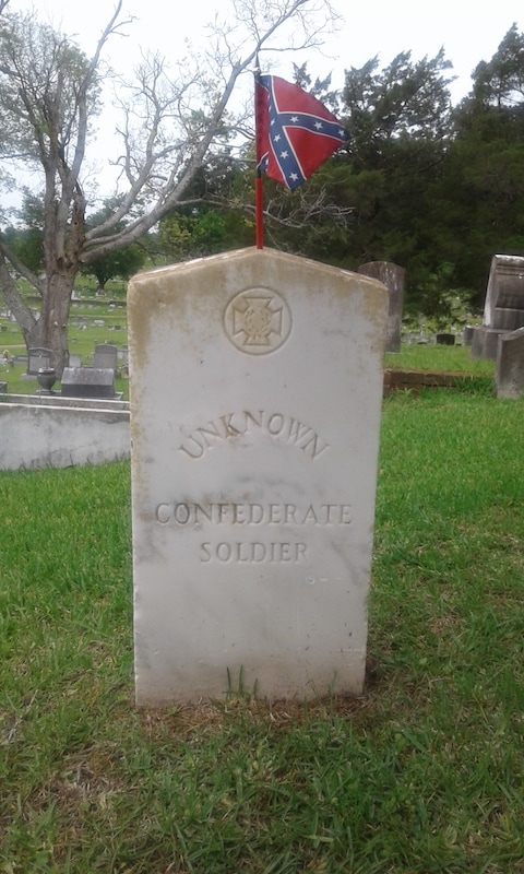
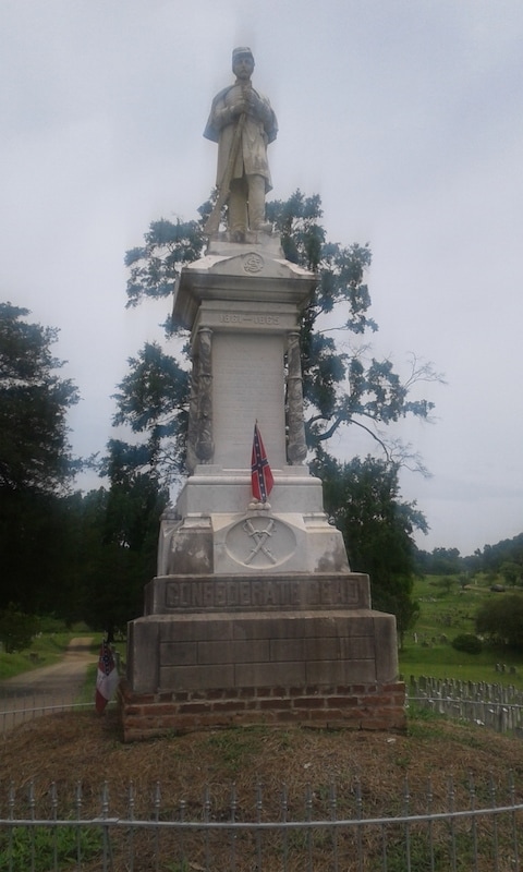
Today was Memorial Day, and by chance we happened upon a small parade in Vicksburg, just after breakfast. It was watched by a handful of people, silent but not sombre. There were old men driving old army vehicles, a police car dragging a golden cannon on a trailer, and even half a dozen men on horseback, dressed as Union soldiers. Later, in the Cedar Grove Cemetery, we saw that this town still has a complicated relationship with the Union. There, on tall poles, hung the state and Confederate flags, but no Stars and Stripes. Rows of headstones memorialised Confederate soldiers in the Civil War, some of them unknown. Little flags had recently been affixed to many of these graves, and to other, civilian gravestones, and they fluttered brightly in the hot wind. This flag, here, is a deeply complicated symbol.
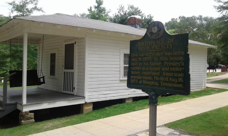
From Oxford we made the short drive back east for our first non-literary pilgrimage of the trip, to Tupelo, and the birthplace of Elvis Presley. Being Sunday morning, it seemed the whole town was at church, and the visitor centre was closed. We strolled around the little cabin in which Elvis was born, we sat in his porch swing, then we drove on, back to the Natchez Trace.
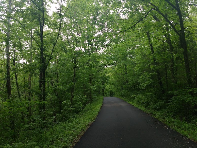
The Trace is a slow road. Though it's almost empty of traffic, the speed limit is just 50mph, so it took longer than expected to make progress south. The road is also, after several hours driving, a little dull. For most of it, nothing can be seen beyond the trees. By early evening, we were ready to see something more than trees.
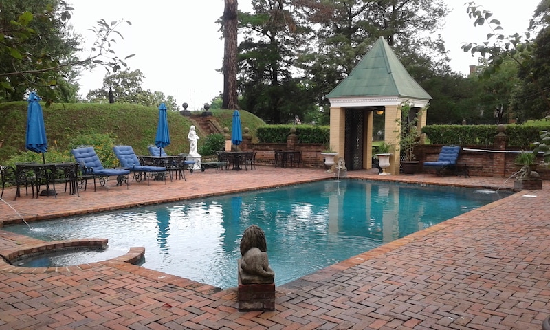
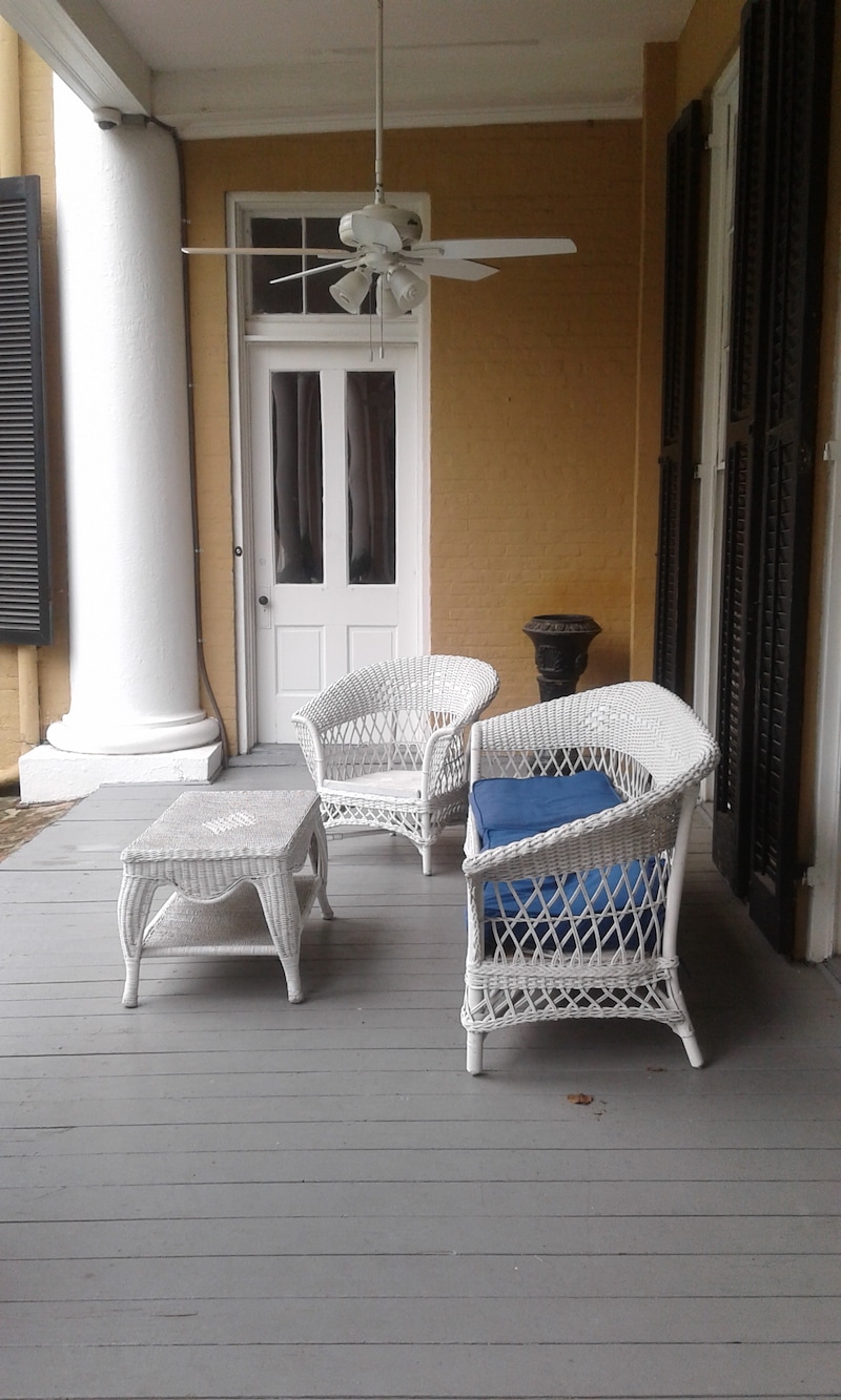
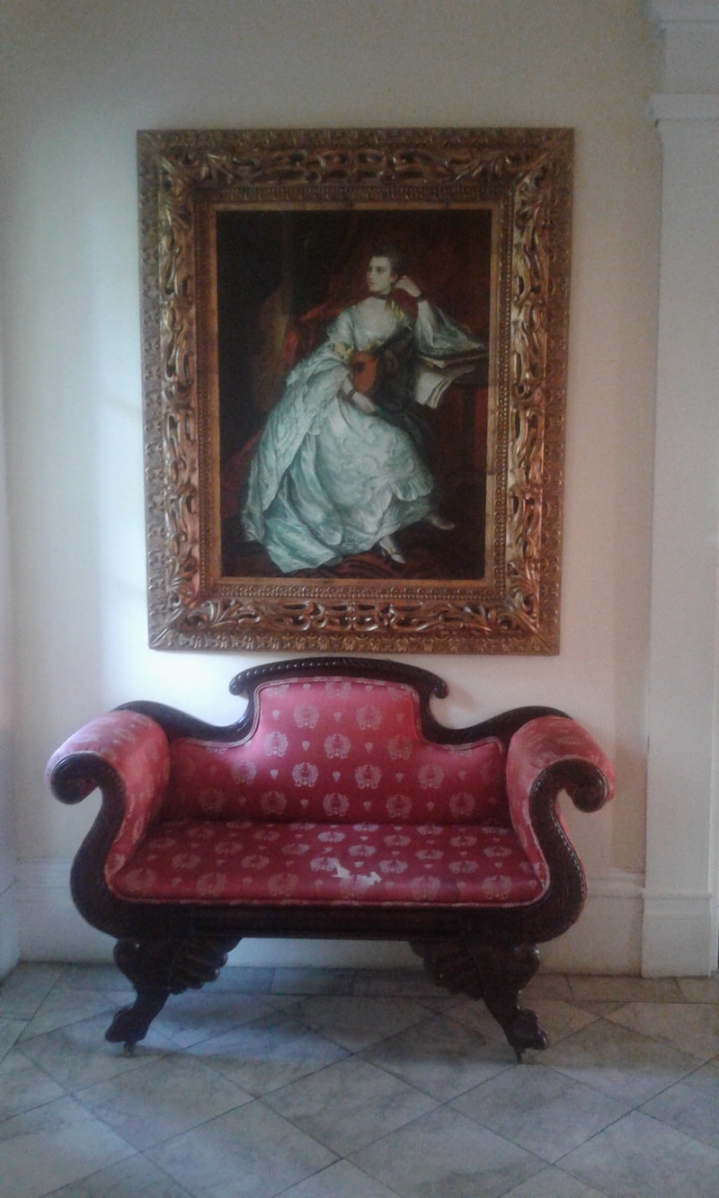
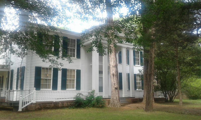
The Cedar Grove Inn in Vicksburg was that something. And what a place it is! A mid-nineteenth century mansion, complete with fountains, four-poster beds, and even cannonball holes, made during the Civil War. This is a place that embodies some of the strangeness and contradictions of the south. The high walls of the inn's garden divide it from the poor, black neighbourhood beyond, and it feels like another world. In the evening we sat outside on the porch, watching fireflies and lightning split the Mississippi darkness. 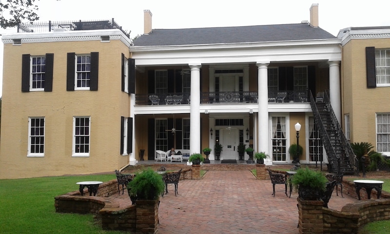
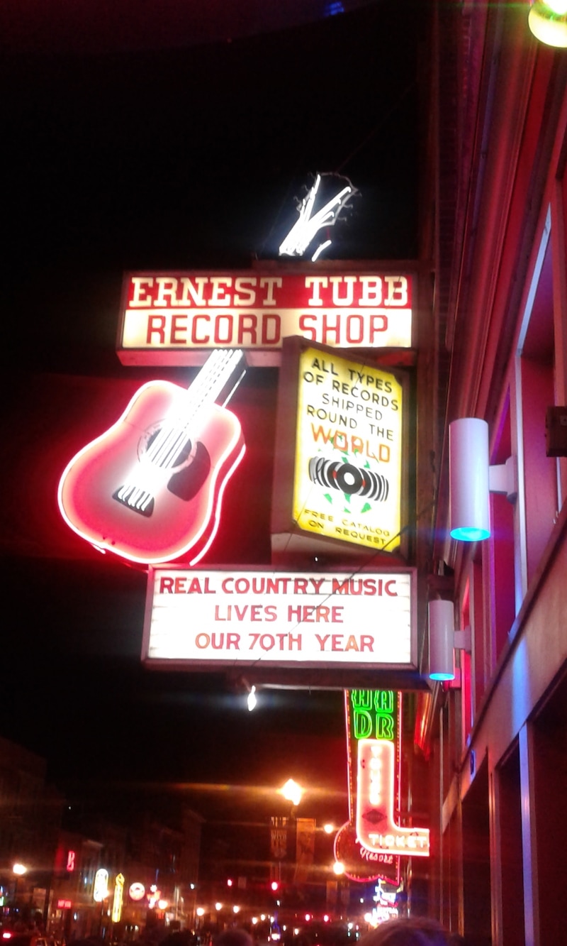
Yesterday, Jennifer and I experienced the madness that is Nashville on a Friday night. Along Broadway, almost every street-front building is a bar – with live bands playing something akin to country music – or else a purveyor of boots and shirts – selling something akin to 'Western apparel'. There are people everywhere. Neither Jennifer nor I are quite cut out for this kind of nightlife, so we chose the quietest bar we could find, and then retired to our hotel feeling old.

After queuing for a breakfast of biscuits and gravy, we set out for the Natchez Trace Parkway, a 'scenic' drive south, that will take us most of the way to our final destination. (Scenic is perhaps not quite the right word, since the road is surrounded by trees, but it is certainly a more relaxing drive than the interstate.)
At Tupelo we left the Trace for the day and headed to Oxford, home of Ole Miss, the University of Mississippi. We visited Rowan Oak, first of all – the home of William Faulkner – and wandered through the hot, humid grounds. We did not pay the $5 to go inside. Somehow it seemed you could learn more in those gardens than you could by gazing at beds, tables and writing desks in the house.
My accommodation last night was undoubtedly the most interesting of the trip so far (and I mean 'interesting' in a positive sense). The Balsam Mountain Inn first opened in 1908, and though it's been renovated extensively, it still feels as though it is of another time. The building has a peeling glamour, and its porch houses more rocking chairs than I have ever seen in one place at one time before. I was reluctant to get up and leave when morning came.
My first stop of the day was Cullowhee, and the University of Western Carolina, where I was given a tour of the artefacts in their historical collection, many of them related to the local Cherokee, such as hand-woven baskets and pottery, and others to the large number of 'Ulster Scots' who immigrated to this region. Leaving Cullowhee I made another of my map reading errors, and took a 'scenic route' west through the mountains, that did not deliver me to Nashville until evening was falling. It included a five minute stay in Georgia, so added another state to my list. I have done more driving in the past few days than I care to think about. Fortunately Jennifer Haigh will be joining me again for the rest of the trip, so driving duties can now be shared. 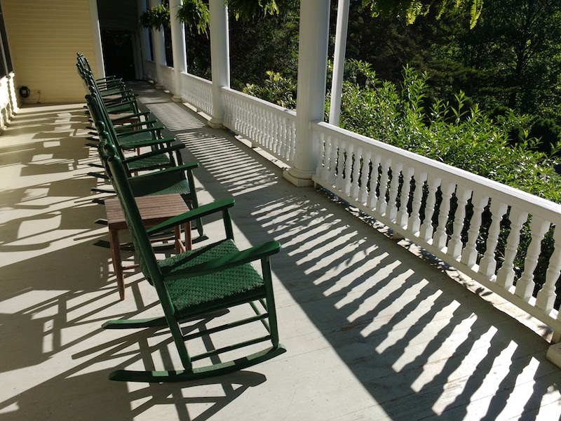
The Balsam Mountain Inn
A morning of wandering and writing (and laundry) was followed by an afternoon of slow, circuitous driving, high in the mountains west of Asheville.
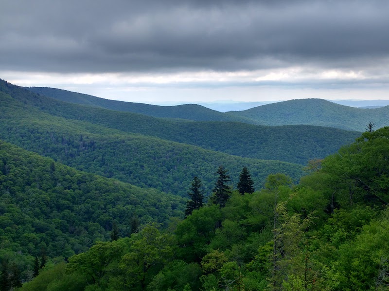
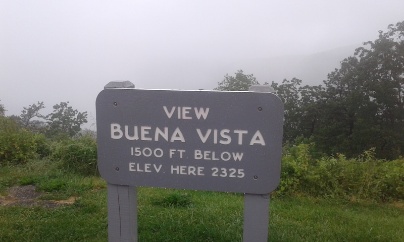
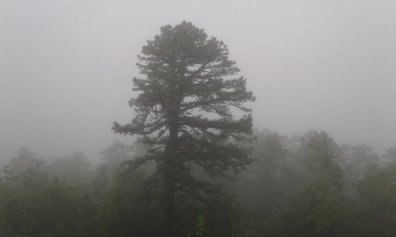
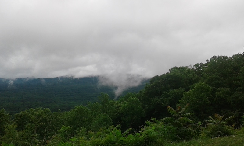
I took what I thought was a minor detour to Rosman first of all, in order to cross (very briefly) the state line into South Carolina. Then back again. The map, however, was deceptive. The route I'd chosen proved to be perhaps the windiest road I have ever driven, up and then up and then up, to over 6,000 feet, the highest part of the Blue Ridge Parkway. This time though I was rewarded with wonderful views, out over the Smoky Mountains, offering a hint of what I'd missed in yesterday's fog. The scale of the forest, of the mountains, is quite astonishing.
Since I began planning this trip I'd be looking forward to driving the Blue Ridge Parkway, high in the mountains between Virginia and North Carolina. However, I'd not counted on the weather being so unsuitable.
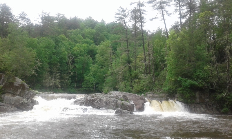
I set off early, in light drizzle, but by the time I made it to the parkway everything was shrouded in fog. Every few miles I would pass another viewing point, from which I could see nothing at all. I did manage to spot several deer, wild turkeys, groundhogs, squirrels, and a swimming mink. But of the mountains themselves, not a thing. I made it halfway down the road, then decided to change route and find a shorter path to Asheville. It still took me around nine hours in total, with just a few stops to stretch my legs (and one to visit Linville Falls, during a brief pause in the rain) along the way. Here's what I might have seen, on a sunnier day.
As soon as you leave the interstate south of Charleston, you find yourself in a very different world. The road narrows and coils steeply up the mountain, trees crowding in on either side. A procession of huge trucks comes rumbling down in the opposite direction.
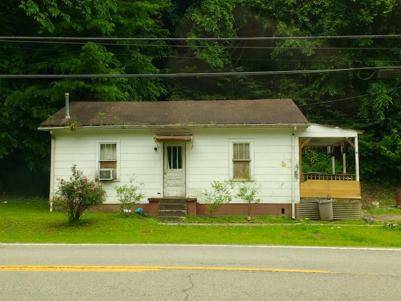
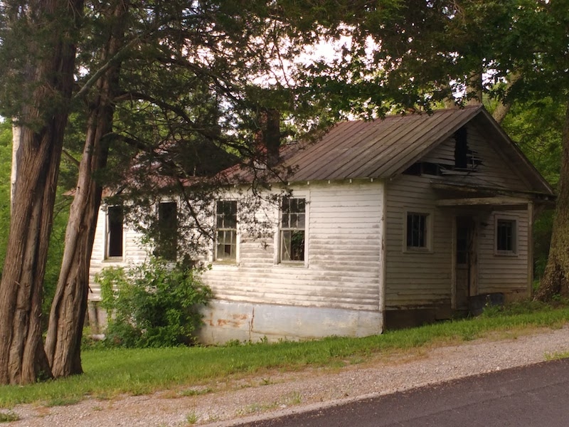
The houses, too, change. This part of Appalachia is coal country, and with the downturn in that industry, it is suffering. Abandoned buildings are everywhere; rundown houses and trailers, though lived in, look as though they ought not to be. The depravation here, to my eyes, is shocking. Behind the trees, though, another kind of damage is being done. This region has one of the highest densities of mountaintop removal mines in Appalachia (there are 135 in West Virginia alone). From the road, it is all but invisible, but from above, the extent of this damage is truly astonishing. 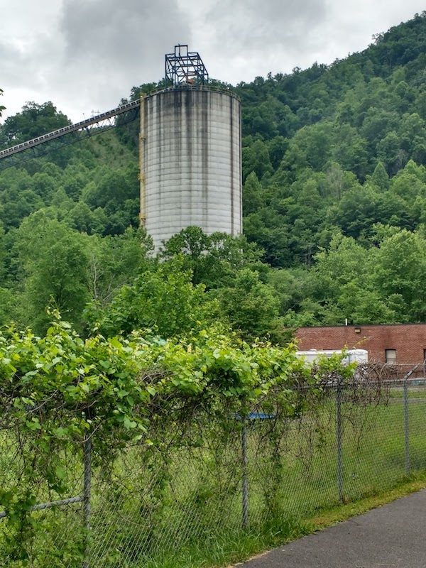
After leaving Port Royal on Sunday evening, I'd driven south towards Berea, where I stayed with another writer, Silas House (and learned that Kentucky whiskey is much better than I'd previously thought).
Silas is a novelist, and also teaches Appalachian Studies here in Berea. The town's college was founded in the 1860s as a racially-integrated, abolitionist school, just a few years before the civil war began. It remains a liberal institution even today. This morning, Silas gave me a tour of the town and the surrounding area. He is passionate about this region and its culture, just as he is passionately opposed to the destruction of its environment and communities by mountain-top removal coal mining. In the next couple of days, I will be seeing some of the results of that destruction. 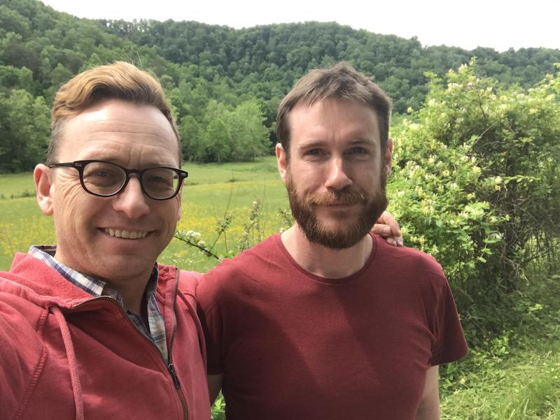
Don't meet your heroes, they say. Well, today I did just that, and it turned out alright. On Sunday afternoon I drove through Henry County, Kentucky, to Port Royal, and found the farm of Wendell Berry.
Over the past ten years or so I've read all of Berry's fiction (eight novels and scores of short stories) as well as many of his essays and poems. I've also recommended his work to everyone who would listen. Berry's is truly a wise, generous and humane voice in American literature. After chatting for a while inside the house, he took me out for a tour of the area in his pickup. At one point he stopped and got out to rescue a turtle that was trying to cross the road. "He was going in the wrong direction", Wendell explained. Later, despite his hatred of screens, he even consented to a photograph. Organising this visit took several handwritten letters back and forth across the Atlantic, but it was worth every drop of ink (and petrol). (An interesting fact: Wendell keeps a llama as a "guard animal" to protect his sheep from coyotes.) 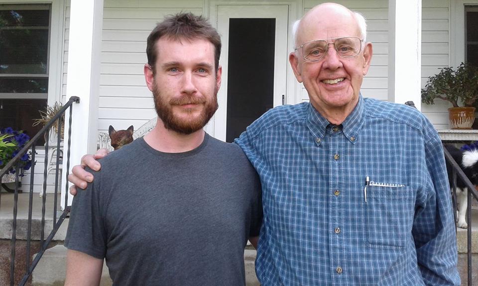
A short drive today, from my cabin in the woods, via the town of French Lick, to Louisville, Kentucky's largest city. The heavy rain overnight had flooded rivers, and many fields were under water. (I learned later that Washington County, through which I drove, had declared a state of emergency after flash floods hit several areas, including in Salem, the county seat. Elsewhere in the south and central United States, lightning storms and tornadoes had also caused severe damage.)
I passed through small, rundown towns and farming communities. Here and there, signs warned drivers to look out for horse-drawn buggies (a few Old Order Amish live in this area). All of these little places felt very remote indeed from Louisville, just across the state line – a prosperous and liberal city in a mostly poor, mostly conservative region.
 Photo: Creative Commons Photo: Creative Commons
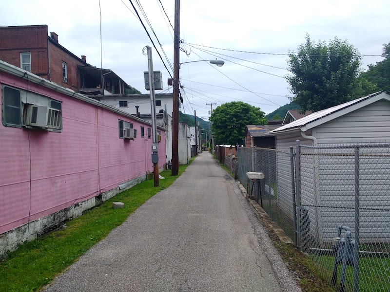
This morning I met Tishaura Jones, treasurer of the City of St Louis, Missouri. She has been a vocal campaigner against racism and poverty in the city, and this year stood in the Democratic primaries to become mayor, losing out to one of only two white candidates.
Ms Jones spoke about the deep roots of St Louis' racial problems, which have led to an ongoing, simmering tension here. After the 2014 shooting of Michael Brown by police in Ferguson, just west of the city, there were widespread protests that brought the Black Lives Matter movement to the attention of the world. St Louis is, she said, effectively a segregated city, more than sixty years after segregation was made illegal in the United States. A sprawling network of municipalities and school districts keep affluent white communities apart – socially, geographically and economically – from poor black communities. The problems, it seems, are structural as much as they are social. But despite the immense challenges faced by those trying to effect change, Ms Jones remains hopeful that changes can be made. By tackling the factors that exacerbate and entrench poverty, she hopes, the structures that maintain the city's segregated system can begin to be broken down. 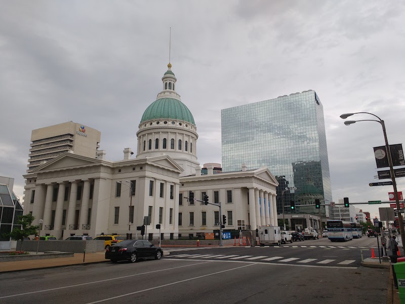
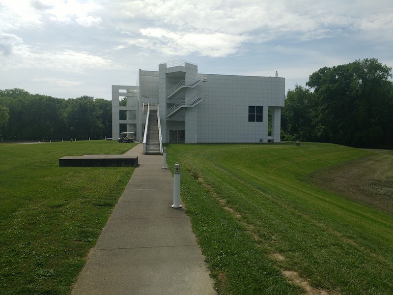
The City of St Louis, Missouri.
Driving east from St Louis, through southern Illinois to Indiana, I made an unplanned stop. After spotting a sign for the town of New Harmony, a quick web search revealed an irresistible coincidence.
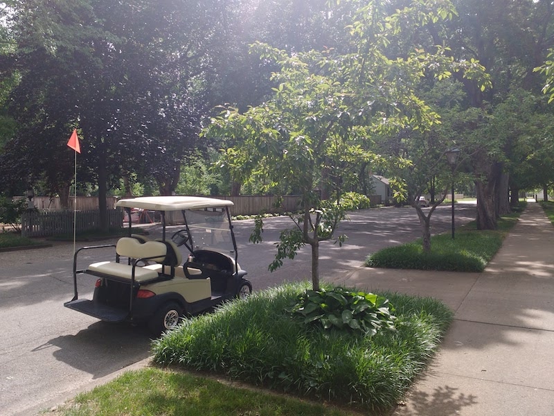
Having made enormous social improvements to the conditions of mill workers in the town of New Lanark, near Glasgow, the Welsh social reformer Robert Owen travelled to the United States in the early nineteenth century. In southern Indiana, he bought the town of Harmony, and attempted to build a utopian community. New Harmony failed, economically, after only two years. But the town remains a fascinating place even today. It has grand old buildings alongside original log cabins, and open air church overlooking a lake, and a very beautiful main street. It is also exceedingly quiet, in part because many of its residents drive golf carts rather than cars. 
New Harmony, Indiana.
Arriving at my cabin in the woods near Lake Pakota this evening, a crash of thunder was followed by a few spots of rain. Then more rain and more thunder. And more. After only a few minutes, the noise of both was almost overwhelming. I drove to a local Amish restaurant through the storm, but had to pull over to wait for it to ease. The roadsides were full of idling cars, unable to see further than their front windscreens. I slept well, woken only occasionally by thunder grumbling through the hills. 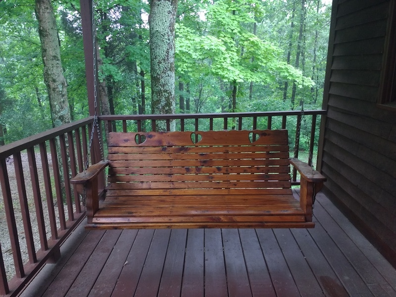
Swing seat on the porch at Lake Pakota, Indiana.
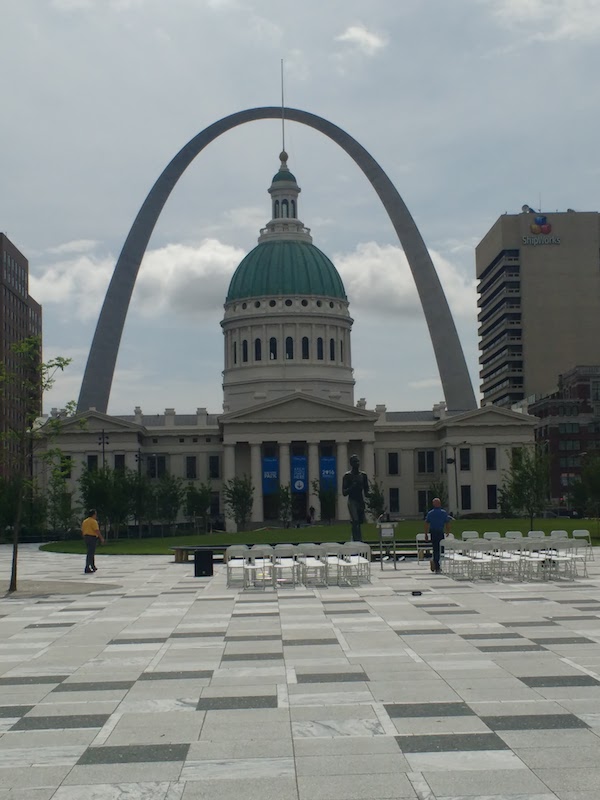
Today we made a long eastward drive that felt, too, like a journey south. From Manhattan we made our way to Kansas City (which is not in Kansas), and ate lunch on a platform overlooking the Missouri River. This is North America's longest river – known as the Big Muddy – which we first saw in its upper reaches, in North Dakota. The Union Pacific Railway, Kansas City, Missouri. For the bulk of this trip I'll be avoiding big cities and big roads, but today an exception was made. The interstate took us east across Missouri, and by the time we reached St Louis it felt almost like another country. Here, the vowels are longer, the accent more southern; and the racial diversity is much greater. Ferguson, part of the St Louis metropolitan area, was one of the birthplaces of the Black Lives Matter movement, after the shooting of Michael Brown by police in 2014. Tomorrow I'll be speaking to Tishaura Jones, a prominent supporter of BLM, as well as Treasurer of the city. Today was my first sighting of the Mississippi River, close to the astonishing metal Gateway Arch (you can get a lift to the top – 630 feet up in the air – if you are mad enough). The Missouri joins the Mississippi here in the city, and I'll meet the river again in another couple of weeks, in Louisiana, where it reaches the sea. 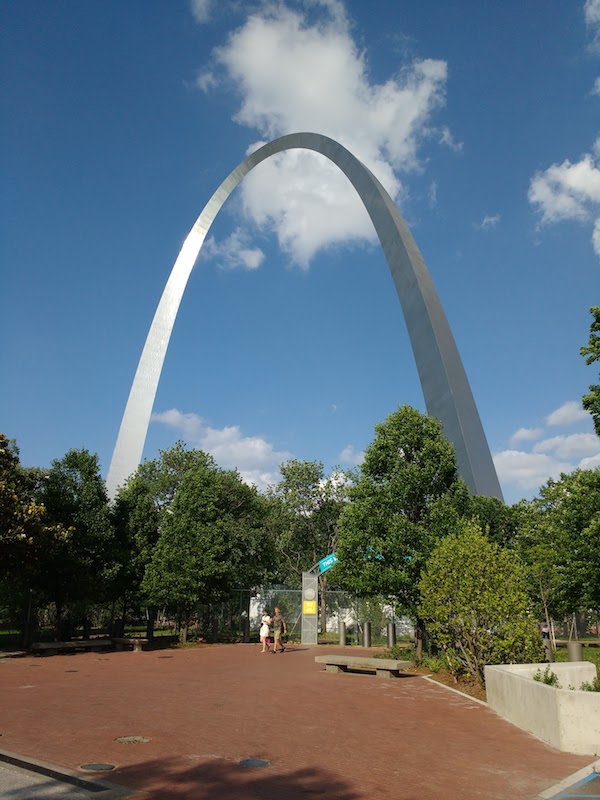  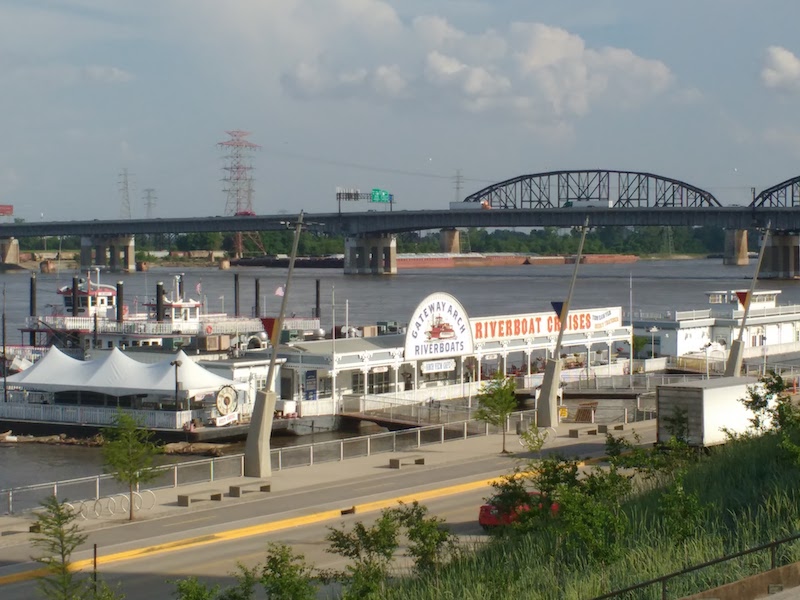 
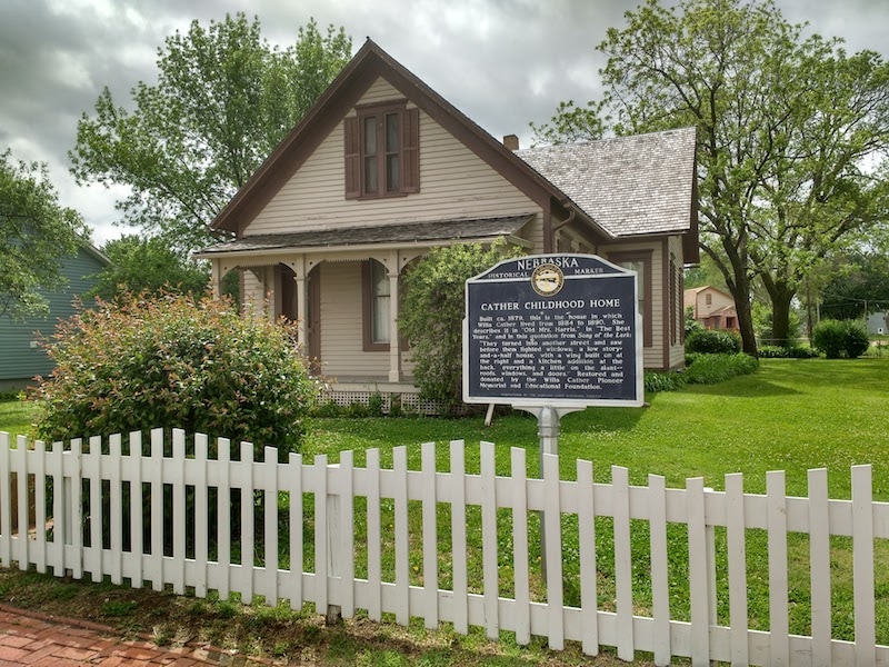
A last minute change of plan. My intention was to travel east this morning, to reach Omaha and cross into Iowa before heading south toward Kansas City. But some late night research suggested another possibility. A fairly straight southward drive would bring us to the little town of Red Cloud, Nebraska, the childhood home of Willa Cather, chronicler of pioneer prairie life, and one of the greatest American writers of the twentieth century. I couldn't resist.
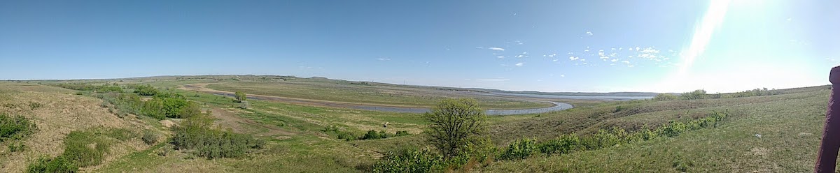
The morning was wet, and a long drive through Nebraska under narrowed skies began. A few distant ranches and grain elevators studded the prairie; a gas station every half an hour; a town or two, barely worthy of the name. This is a land of few people. It was late afternoon (and considerably drier) by the time we reached Red Cloud, and took a wander along the brick-lined main street, and through the museum. From there, we continued south a few miles, to the Willa Cather Memorial Prairie – more than 600 acres of undeveloped land, full of native plants, birds and insects. It is a beautiful place, humming with sound.
The Kansas state line is just beyond the Memorial Prairie, and as evening set in we continued onward to Manhattan – known as the Little Apple – home of Kansas State University, where we stopped for the night after eleven hours on the road.
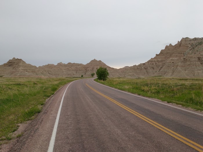
A day in Rapid City, spent mostly writing (and doing laundry) before an evening drive east to Murdo, via the Badlands National Park. For the next few days I'll be travelling with Karissa Kary, the US organiser of the Outriders project.
Today marks the end of the first leg of this trip. Geographically, there will be four parts to the journey: the Dakotas, the Great Plains, Appalachia, and 'The South' (Mississippi and Louisiana). For this past week, I've mostly been thinking about the energy industry – fracking in Williston, and the pipeline protests at Standing Rock – as well as the differences between indigenous and non-indigenous (colonial) ideas of land use, exploitation and economics.
Driving through the Great Plains over the coming days, it will be impossible not to continue thinking about land use (and agriculture in particular), culminating in my visit to Wendell Berry's farm in Kentucky next Sunday.
We drove west then south from the Cheyenne River Reservation towards the Black Hills this morning, pausing briefly in the gold rush town of Deadwood, an area stolen from the Lakota people in the 1870s. After so much flat land over the past few days, the mountains, thick with trees, were almost shocking.
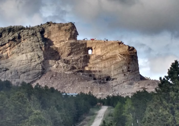
Jennifer flew east this afternoon (we'll be meeting again in Nashville next week) so I visited Mount Rushmore – undoubtedly this region's most famous attraction – and, nearby, another enormous sculpture. The Crazy Horse Memorial was begun in 1948 and is still very far from completion. It is a private, and somewhat controversial project.
This morning we took some time to explore the site of the protest camp at Standing Rock, near Cannonball, North Dakota. The protesters have now all gone, though the arguments over the Dakota Access Pipeline are still ongoing.
From there we continued south, through Fort Yates and onward into south Dakota, stopping for the night in Eagle Butte, in the Cheyenne River Reservation.
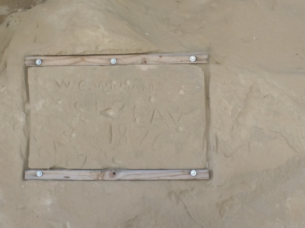
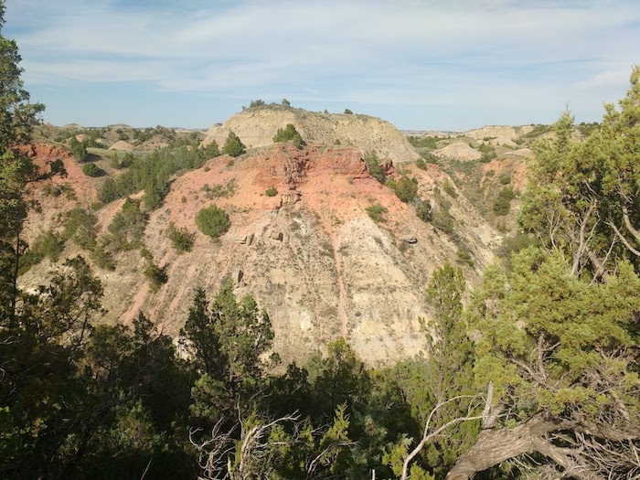
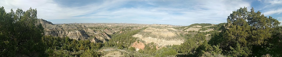
After a walk through the extraordinary Painted Canyon, we drove down red dirt roads to find Initial Rock, where two of General Custer's men carved their names at an overnight camp in 1876, en route to what would become known as the Battle of Little Big Horn.  The Painted Canyon
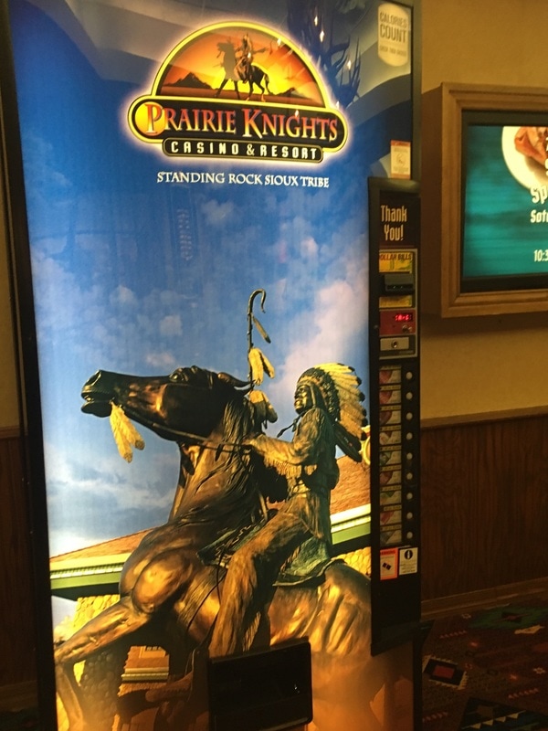
From Initial Rock we headed east, eventually making our way to Prairie Knights, a casino and hotel just south of Cannonball, owned and run by the Standing Rock Sioux. It is a peculiar, and somewhat terrifying place, filled with cigarette smoke and slot machines.
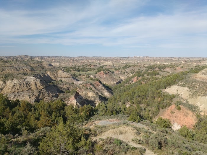
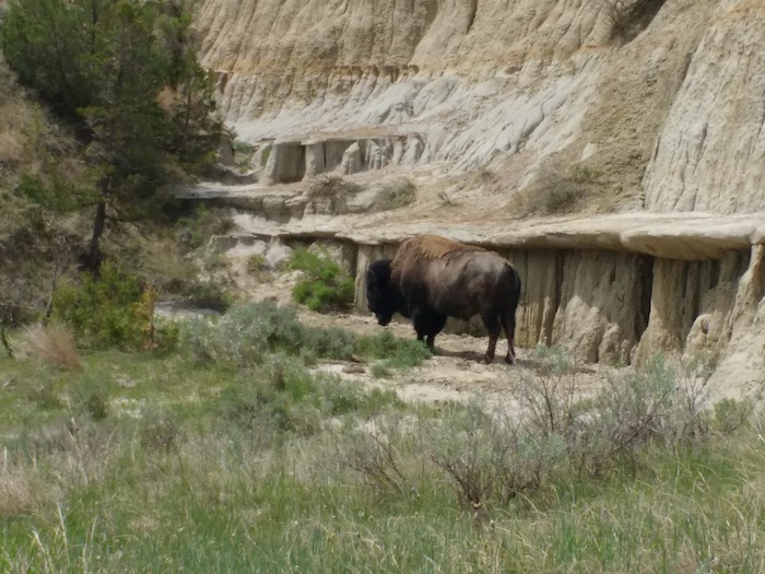
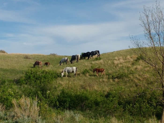
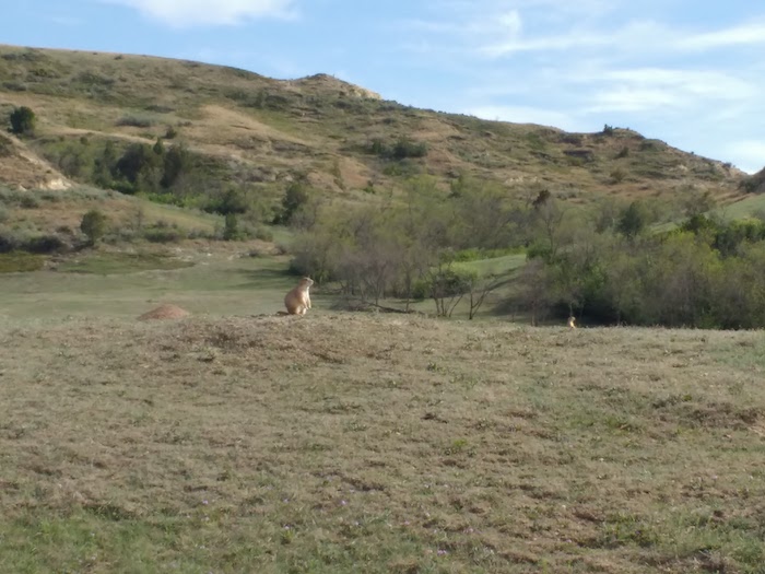
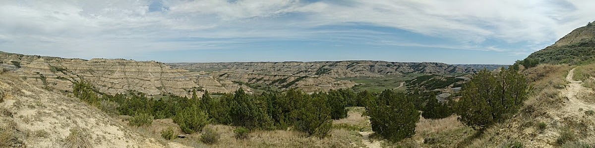
The Theodore Roosevelt National Park is a truly extraordinary place. Prairie dogs, bison, wild horses, and some of the most astonishing landscapes I have seen anywhere in the world. The video below gives an indication of just how enormous the park is, and how incredible the scenery. Turn down the volume though; it was windy up there.
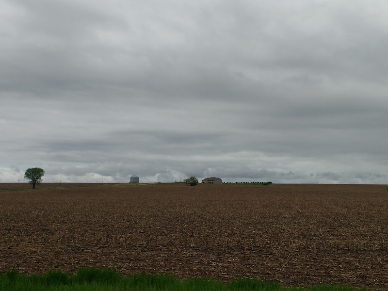
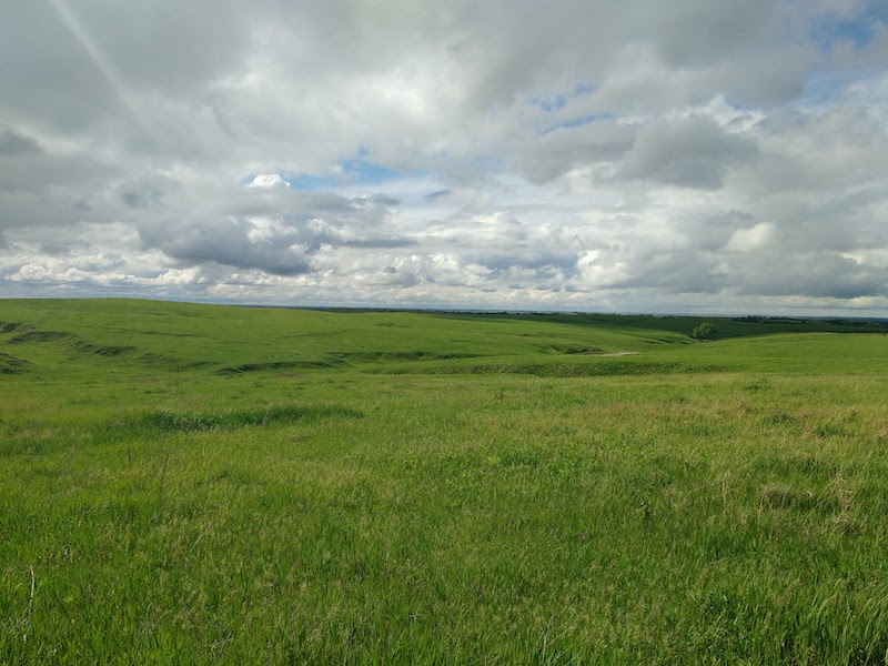
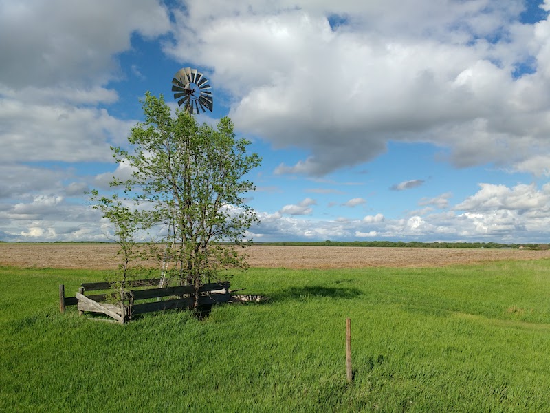
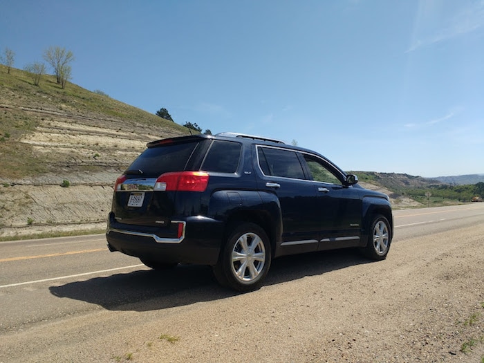
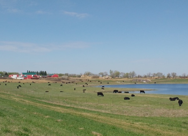
Jennifer Haigh and I set out from Bismarck first thing Thursday morning, under broad, blue skies. North of the city, the land is flat – almost featureless – with only the occasional farmhouse and grain elevator breaking the horizon.
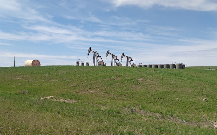
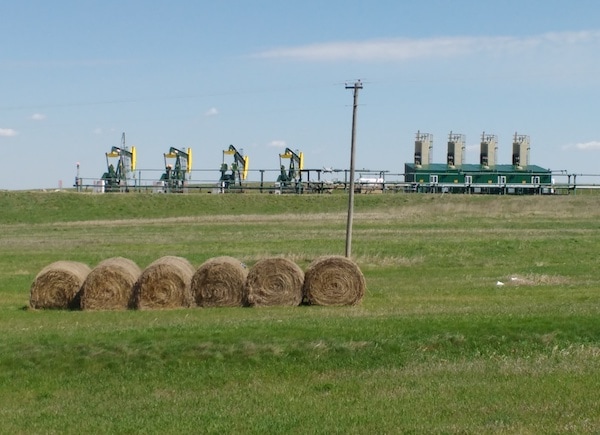
Heading west from Minot, agriculture began to give way to energy, first in the form of wind turbines, then oil derricks, nodding their heads at the ground like giant metal birds. By the time we reached our destination, whole flocks of them crowded the fields.
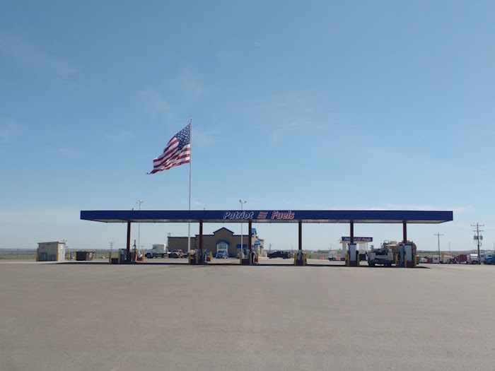
Williston is a boom town, and has been since 2010, when the Bakken shale that lies beneath this region began to give up its oil to fracking. Though the crash in oil prices has slowed things down a little in the past couple of years, the town is still thriving. It is a strange place, filled with itinerant workers, enormous vehicles, and many, many hotels.
Here's a very short documentary to introduce you to Williston. Bismarck, North Dakota."Why are you going to North Dakota, sir?" asked the man from the Border Patrol, as his eyes flicked back and forth from my passport photograph (clean shaven) to my face (bearded). "Nobody goes to North Dakota." After a nine hour flight from Amsterdam to Minneapolis, I struggled to offer a coherent answer. "Maybe that's a good enough reason in itself", I ought to have said. But I didn't. I shrugged, and mumbled, "I just wanted to see it". He checked my face, one last time, then nodded me through.
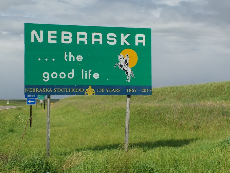
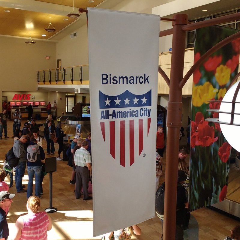
Bismarck is the capital of North Dakota, one of the least populous, and apparently least visited, of the United States. It is also the starting point of my Outriders journey, which will take me from here – close to the border with Canada – all the way south to Louisiana, via the mountains of Appalachia.
Each day, over the next three weeks, I will be posting pictures, videos and observations from the journey. But first, I need to sleep. |